|
 Fuerteventura
Beginning Fuerteventura
Beginning
In the formation of the island of Fuerteventura can distinguish
three distinct stages, each of which generates a kind of
different stone materials.
Basal Complex.
Creation of the "base" of the Island of Fuerteventura.
Some 70 million years ago, the Atlantic was in full expansion
phase (Plate Tectonics), so that the African Continent and
European separated the Americas (about 2 inches a year), and
formed the Atlantic Ocean.
In this scenario, and because the African Plate collided with
the Eurasian Plate, the seabed where it currently Canary
fractured, generating the output of molten rock, which on
contact with water rapidly solidified. Would be "volcanoes" that
were piling up millions of cubic meters of volcanic rocks (lavas
pilow mostly), which grew this large structure to the surface.
In addition, magma chambers (where magma accumulates will
surface as magma), when cooled slowly, giving rise to the
plutonic rocks, which will form an important part of the Basal
Complex (gabbro, syenite, carbonatite .)
Plutonic and volcanic rocks are also mixed with marine sediments
(sand and mud) that came from Africa, so that the Basal Complex
is composed of different types of rocks that we explain the
origin of the island of Fuerteventura
Subaerial Volcanism.
Massive volcanism with large releases of material.
The stage of the birth of Fuerteventura with volcanism low sea
level occurred during 50 million years, and at one point (17
million years ago), that this volcano submarine surfaced and
showed what would be the island Fuerteventura.
In this second phase of volcanism is on the surface, and over
millions of years accumulate large amounts of volcanic material
(shield volcanoes), the thickness could reach 4,000 meters.
The arrival of these millions of cubic meters of lava to the
surface through a network of multiple dykes, crossing the Basal
Complex, which have been recorded in the complex. These dams can
bequeath to have a width of two meters
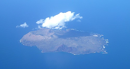
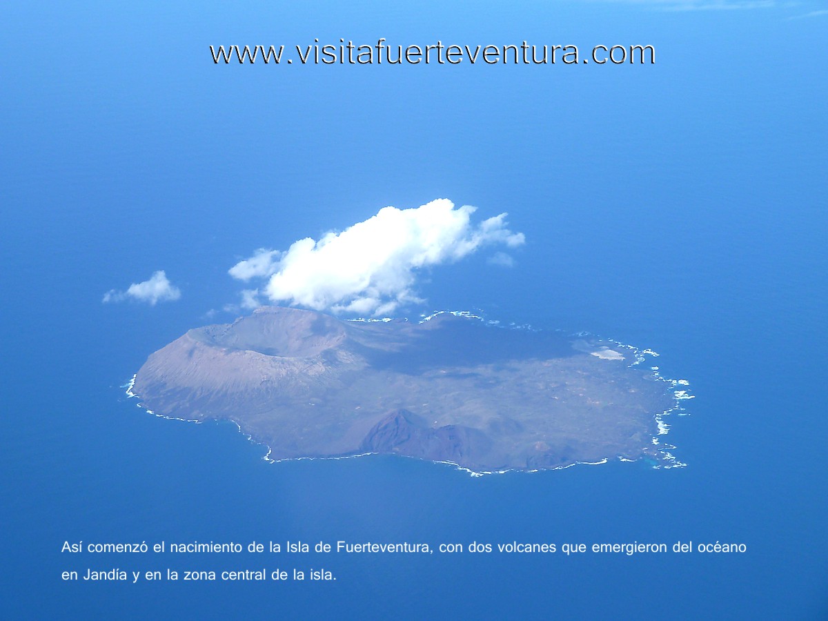
Thus began the formation of the island of Fuerteventura,
the three small volcanic islands emerge
There were three large stratovolcanoes on the island, resting on
the older rocks of the Basal Complex: Main Building first, then
building Jandia on the south, and finally the North Building.
The volcanoes of the Central Building Jandia be as high as Mount
Teide in Tenerife, but due to problems of instability or major
earthquakes, 15 million years ago, the Central Building suffered
a major collapse, causing a landslide around the volcano to
west, accumulating this material in the seabed.
Because of this cataclysm, the Basal Complex rocks were exposed,
being possible to study and visit in the area and Ajuy
Betancuria.
The preserved remains of these ancient buildings are rare, since
for 15 million years the atmosphere has acted to erode the
materials, was alone called "knives" that are sharp peaked
mountains (Vigán knives, for example, on the east coast
Fuerteventura).
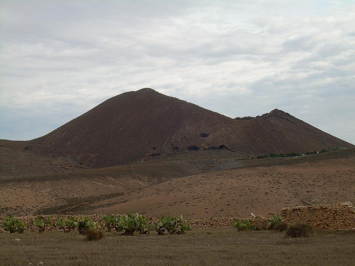
Recent volcanism.
Small Volcanoes
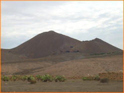 Following
the previous period is a period of relative calm that lasts 7
million years, and 5 million years ago resumed volcanic activity
with small shield volcanoes first, then buildings volcanic
cinder and ash. Following
the previous period is a period of relative calm that lasts 7
million years, and 5 million years ago resumed volcanic activity
with small shield volcanoes first, then buildings volcanic
cinder and ash.
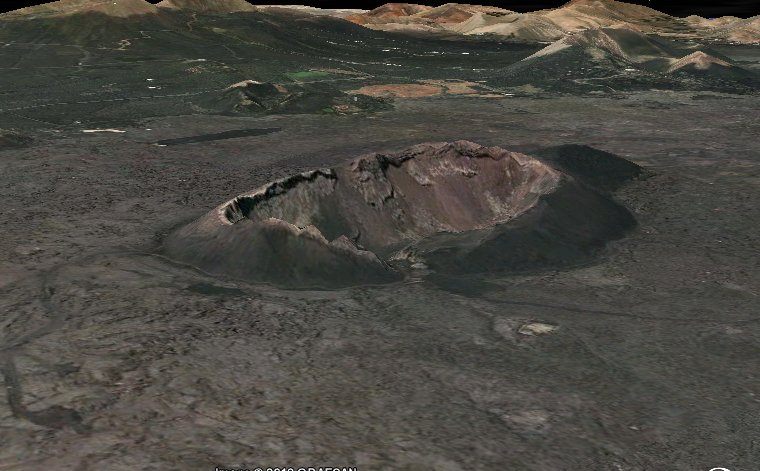
Examples of this volcanism are Gairía Volcano, with Tiscamanita,
or Malpais Grande and Chico, between Tuineje and Black Pit, or
the Arena Volcano in the north of the island, near the village
of Lajares.
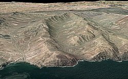
Fuerteventura Geomorphology.
The most striking feature of the surface topography
Fuerteventura is its smoothness. Although several million years
ago, there were large volcanoes like Mount Teide, the continuing
effect of erosion (and great cataclysms point), have softened
the surface of the island.
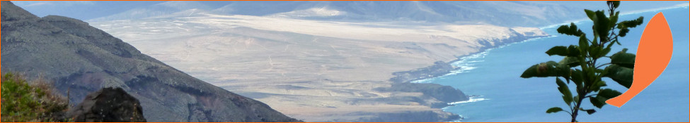
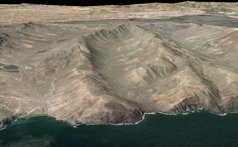
The highest altitude of Fuerteventura is the Pico de la Zarza
(807 meters), also called by the Majoreros "Donkey Ears" and are
the remains of a large shield volcano that was formed in Jandia
Peninsula, south of the island .
Next in a summit altitude Betancuria Massif in the center of the
island, which are remnants of the Basal Complex
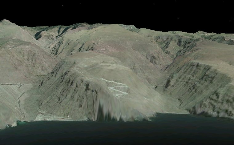
We can
establish a similarity between what was the topography in
Fuerteventura in antiquity with the rest of the Canary Islands
today:
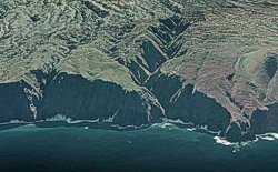 |
15 million years ago.
Fuerteventura could resemble what is now the island
of La Palma, with recent gullies, deep, but little
developed because erosion has not played long enough
to widen their margins. V-shaped profile
Similar to the island of La Palma today |
 |
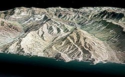
8 million years ago.
The gullies are more in-depth and have been widened
to a level "intermediate." Can you remember what
today is now La Gomera. V-shaped profile
Similar to the island of La Gomera today
|
 |
2 million years ago.
The gullies are more developed, less deep and very
wide, with U-shaped profile This compares with the
present topography of the island of Gran Canaria.
Similar to the Island of Gran Canaria today
|
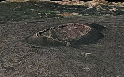 |
Less than 100,000 years ago
Small volcanic edifices (cones), just 200 meters
high and very young age, accompanied Ah-Ah casting,
forming the so-called Malpais.
Similar to the volcanoes of the Timanfaya National
Park in Lanzarote
|
 |
Present.
Fuerteventura has soft and shallow valleys. General
topography very smooth, only with specific
geographical features (knives, Betancuria Massif
Mountains of Jandia). |
|